Website & GIS Integration
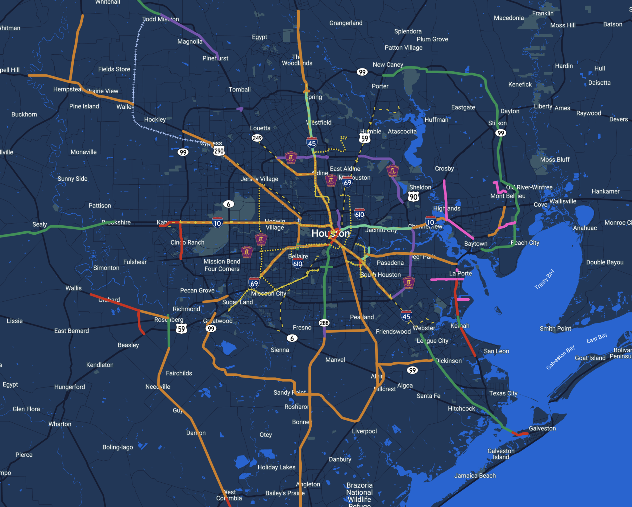
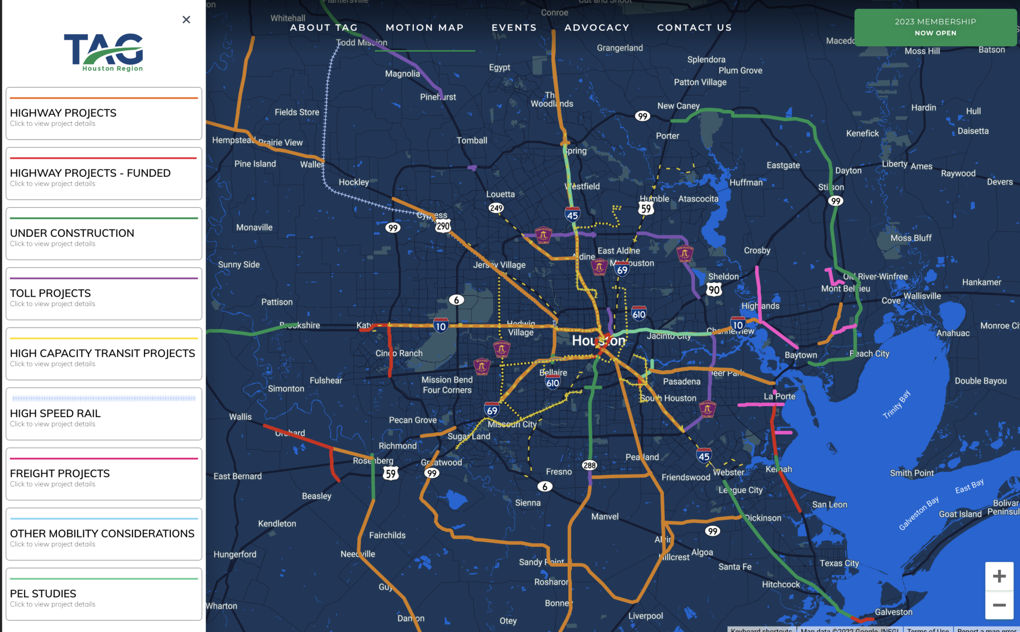
Evidence, not opinion, wins transportation funding. The Transportation Advocacy Group, TAG Houston, builds a broad-based coalition of businesses, local governments, and community organizations to demonstrate public support for full and adequate transportation infrastructure funding from local, state, and federal governments across the 8-county Greater Houston region, home to more than 7 million people. WWC designed and developed the new TAG website, a web design and user experience project built on WordPress and anchored by an interactive map that searches multiple GIS systems through MapBox. The map turns dispersed agency data into a single, searchable picture of the region's mobility needs, giving TAG a clear answer when policymakers ask where investment matters most. TAG now makes a complex regional case with the clarity a funding argument demands.
The case for mobility funding is regional, but the data behind it is scattered. TAG represents an 8-county Greater Houston region facing roughly $140 billion in unmet transportation needs, with only 1 of every 15 dollars needed for regional projects currently funded. The coalition had the membership and the mission, but it needed a website that could carry that argument to businesses, governments, and residents, and a way to show mobility needs on a map instead of burying them in datasets spread across multiple GIS systems. TAG asked WWC to design and develop a new website with an interactive map that brings those systems together in one search.
WWC designed and developed the new TAG Houston website with user experience leading the build. Built on WordPress, the site gives the coalition a clear structure for its advocacy priorities, membership, and policy work, and a platform its team can manage directly. At the center is an interactive map, powered by MapBox, that searches multiple GIS systems, drawing on sources including H-GAC, TxDOT, METRO, and county data, and pulls regional transportation information into a single view. Instead of asking visitors to interpret agency datasets, the map lets members, policymakers, and residents explore mobility needs across Greater Houston for themselves.
Adoption is the measure that matters for an advocacy tool. Since launch, usage of the interactive map has increased and TAG's membership has grown year-over-year, evidence the site is doing its job as the coalition's public platform for regional mobility advocacy. More importantly, it gives a coalition built on shared interest a shared picture, a single map where members, policymakers, and residents can point to the same needs and make the same case.

Tell us where you want to grow. We will bring the strategy, creative, and technology to get you there.